Desktop
1280 × 1200 · 15 seconds
Catalogue · Examples
Each example is a complete page built on the library, with its method, sources and downloads. Read one, then copy its pattern.
Part one
Certified results painted onto the district maps each election used.

Plate III · Local measures
Forty-four measures, four elections, three district maps. Compare two measures and download the count.
Open
Plate IV · State ballot
Ten statewide measures as small multiples, then one at a time on a single line.
Open
Plate V · Candidates
Who each district chose from 2016 to 2026, and how every candidate fared.
OpenPart two
The geography itself: its layers, its competing neighborhood maps, and its moving district lines.

Plate II · Studio
Switch definitions, years and layers, and copy the code for what you see.
Open
Plate VI · Divisions
One point, three neighborhood definitions, three generations of districts.
Open
Plate VII · Motion
A marker rides between eight station locations. The connecting lines are illustrative.
OpenPart three
Patterns, references and live component checks.
Part four
Watch zoom, pan, clustering and selection on desktop and at 390 px.
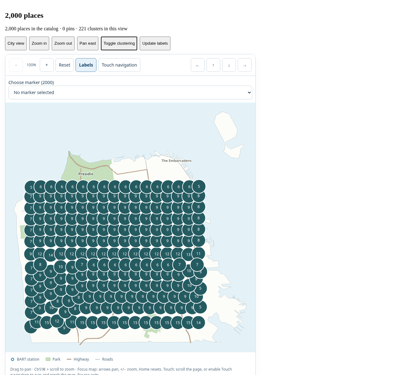
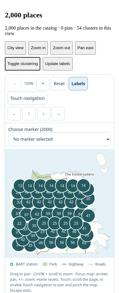
Each recording starts with clustered places, turns clustering off, zooms in twice and pans east. Pins outside the viewport leave the map while all 2,000 places stay in the picker. Labels update, then selecting a place brings it into view before returning to the city overview.
1280 × 1200 · 15 seconds
390 × 960 · 14 seconds
Silent recordings captured October 11, 2026 from development commit e6ebc5b. They demonstrate behavior; the 30 fps encoding rate is not a rendering benchmark. See the measured performance results and capture instructions.